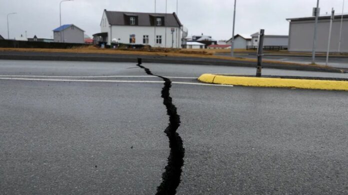
Iceland has declared a state of emergency and more than 3,000 residents have been urged to evacuate the small, coastal town of Grindavík as the country’s authorities anticipate the imminent eruption of a volcano in its southwestern peninsula.
Scientists monitoring the situation, including those at Iceland’s Met Office, observed changes to the situation on Sunday that could indicate “magma is moving closer to the surface,” and concluded on Monday that “the greatest area of magma upwelling” is in an area 3.5 kilometers (two miles) northeast of Grindavík.
So, what do we know about this potential eruption, what are its risks, how could it affect travel and why is Iceland, an island of just 103,000 square kilometers (40,000 square miles), home to so much seismic activity?
Iceland is facing events that its 360,000 residents “have not experienced before, at least not since the eruption in Vestmannaeyjar,” the country’s Civil Protection Agency said on Friday, referencing a 1973 eruption that began without warning and destroyed 400 homes.
A 15-kilometer- (nine-mile-) long magma corridor now stretches from just northwest of Grindavík into the Atlantic Ocean, according to the Civil Protection Agency, which used models built from data collected in the area on Saturday.
Source: cnn.com


